
Identity area
Reference code
CR AN CR-AN-AH-MYP-021810
Title
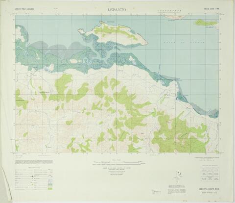
Mapa topográfico de Lepanto, aparecen zonas aledañas, Golfo de Nicoya, Isla Venado, Isla Bejuco, Isla Caballo, Estero Jicaral, Estero Penca, Cerro El Encanto, caminos, poblados, otros. Material: litografía. Dimensiones: 62x53 cm. Preparado: Instituto Geográfico de Costa Rica, basado en fotografías aéreas de 1945. Procedencia: Instituto Geográfico de Costa Rica. Escala: 1:25000. Fecha: 1957. Unidades: 1
Date(s)
- 1957-01-01 - 1957-12-31 (Creation)
Level of description
Item
Extent and medium
1 unidad, 384 KB; Papel, Digital.
Context area
Name of creator
Biographical history
Repository
Archival history
Immediate source of acquisition or transfer
Content and structure area
Scope and content
Appraisal, destruction and scheduling
Accruals
System of arrangement
Conditions of access and use area
Conditions governing access
Conditions governing reproduction
Language of material
Script of material
Language and script notes
Physical characteristics and technical requirements
Finding aids
Allied materials area
Existence and location of originals
Existence and location of copies
Related units of description
Notes area
Note
Se advierte que la fecha indicada es aproximada.